- July 2002 Gulf of St. Lawrence Trip -
Lunenburg NS (ISAF World Youth Sailing Championships), Charlottetown PEI, Cape Breton NS, Newfoundland's West Coast and Quebec's Southern Shore
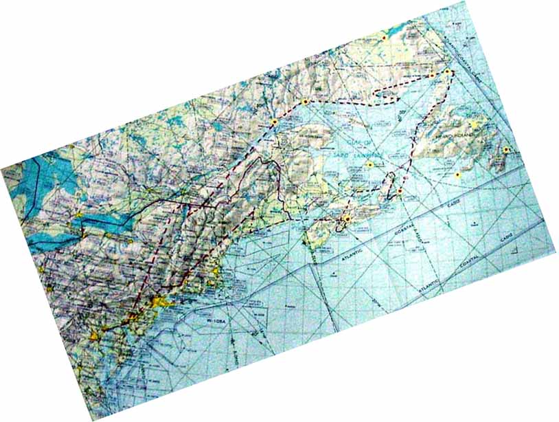
Chart
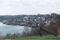
Lunenburg, Nova Scotia
I once took out a $100 Cdn to pay for something. The bill that had a view of the harbour of this historic city pictured on the bill's back. "Hey you want to see where I work?" asked Canadian Olympic Soling sailor, Paul Thompson. He then pointed out building used by North Sails - Atlantic.
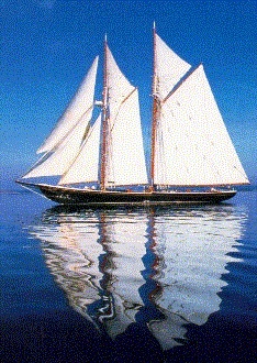
The BLUENOSE II
The Youth World Sailing Championships Committee organized a day sail on this famous schooner.When the huge fishing schooner tacked all these dinghy sailors automatically walked over to be on the new high side.
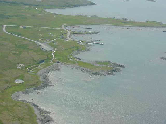
Charlottetown Airport - Prince Edward Island

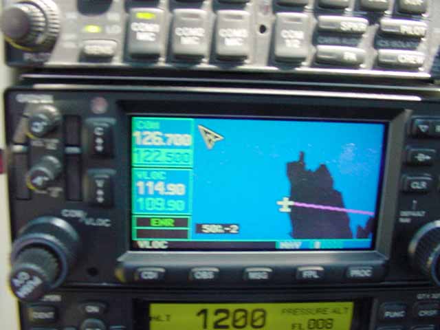
Out of focus GPS display of Cape Breton
Next time I'll figure out how to adjust the focal length.
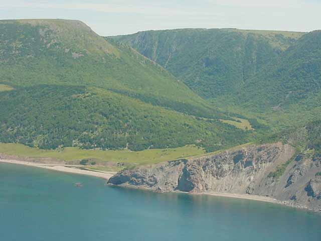
Cape Breton Highlands National Park - Nova Scotia
The northwest coastal trail crosses this ancient sheep pasture on hummocky terrain at the mouth of the Blair River. The irregular topography was dumped by a valley glacier which paused here about 11,000 years ago.
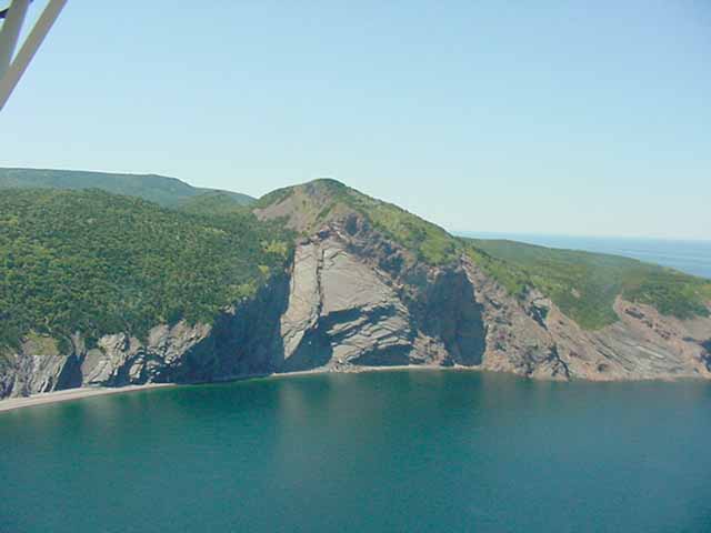
Cape Breton Highlands National Park - Nova Scotia
Numerous places around the northern tip of Cape Breton Island show a rock bench about 5-7 m above tide level which can be walked like a sidewalk ("trottoir"). Formed just like the modern intertidal platform, the old bench marks the sea level during the warmest part of the last interglacial period about 125,000 years ago. Some believe that sea level during the present nonglacial period will eventually regain that level.
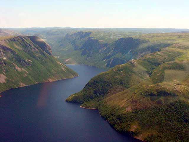
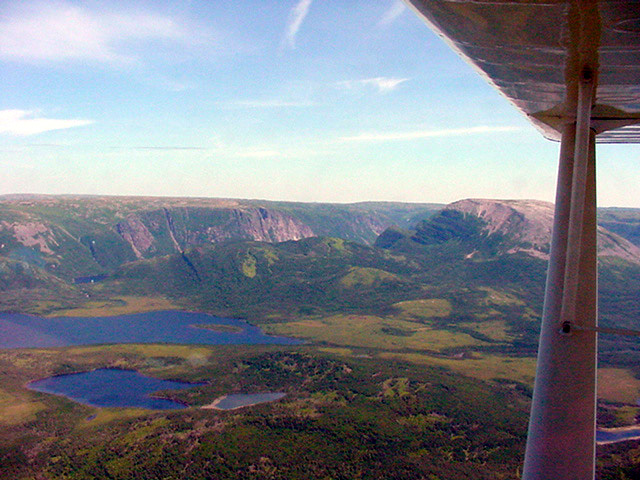
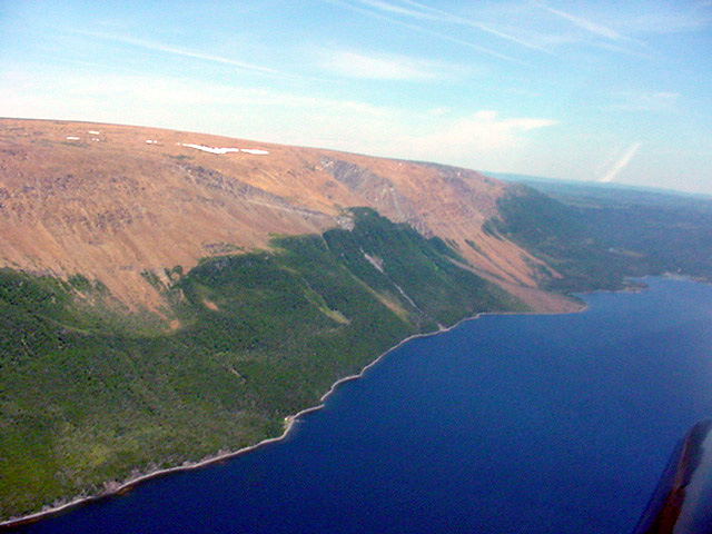
Gros Morne National Park - Newfoundland
This was just after watching approximately twenty pilot whales hunting off of Nfld's Cape Anguille.
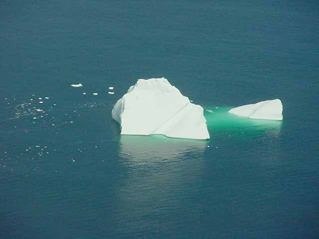
Labrador Sea Icebergs in July
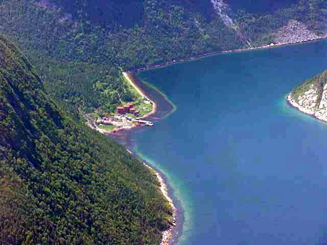
Five miles east of Little Harbour Deep Newfoundland
The 1000 year old Norse settlement (being excavated just beyond the building) is founded on raised beach which has been lifted 4 m above present sea level by postglacial rebound. At that time, the currently rocky bay offered sufficient draft for their boats. The total postglacial emergence in this area is 154 m
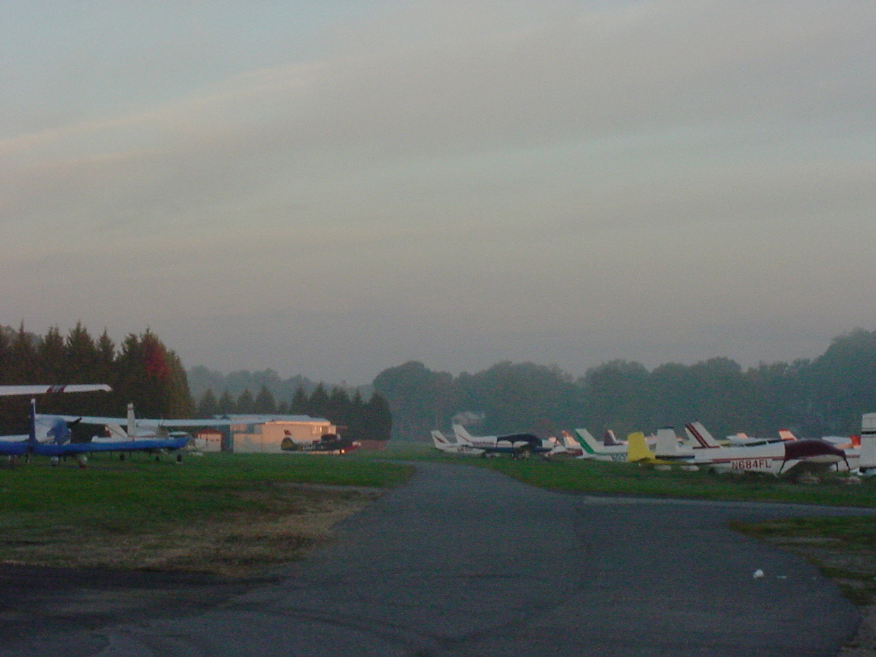
Home at Lee Airport in Annapolis, Maryland
Just after Albany NY, and 250 nmi from Annapolis, there was a huge thunderstorm cloud directly ahead. I thought I'd get a little closer to home before stopping. First I got to Port Jarvis alright and decided to go further. The closer I got to Allentown the more confident I became that I could reach Reading. Then maybe Lancaster. Over Lancaster I found I could still get closer to Baltimore. Asking BWI for Flight Following to Annapolis, they vectored me to ANP while warning of Level 2 radar echos south of the field. To end a long story, the 65,000' thunderstorm cell was well south of Annapolis and the landing was uneventful. Weather is amazing.