
The Magnetic North Pole is a work in progress. |
Early mariners believed that somewhere in the North was a magnetic.
Then in 1600, Sir William Gilbert, physician to Queen Elizabeth I, suggested the earth itself was acting like a giant magnetic
In 1831, John Ross, while attempting to find the North West Passage, positioned the MNP just north of King Wm Island.70 years later in 1904 Norwegian Roald Amundsen located the MNP placed it just 30 miles away.
Since then the pole has gained speed and kept moving to the North. |
|
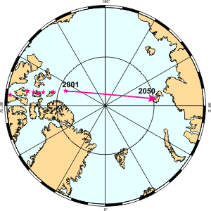
The last time it was officially located was in 1994 and found to be under Dome Bay in Ellef Rigness Island. However it has surely moved and the best guess is that it was under the Arctic Ocean 240 nm further NNW.
At the present rate, and there is no reason to think it will be consistant, the experts on the internet predict the MNP will be in Siberia in 2050. |
|
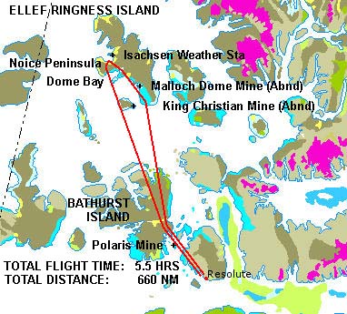
Ellef Rigness Island, Dome Bay and the landing strip at the automatic Isachsen Weather Station (manned by the US until 1955) is what is usually defined by those adventures seeking to visit the Pole. |
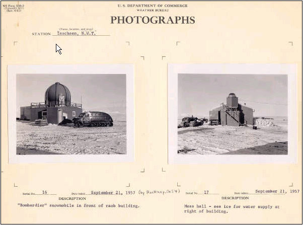 |
Isachsen Weather Station was the third of five Arctic outposts staffed by Americans and Canadians 1948. It was manned by a team of twelve until it became automated in 1978. |
 |
|
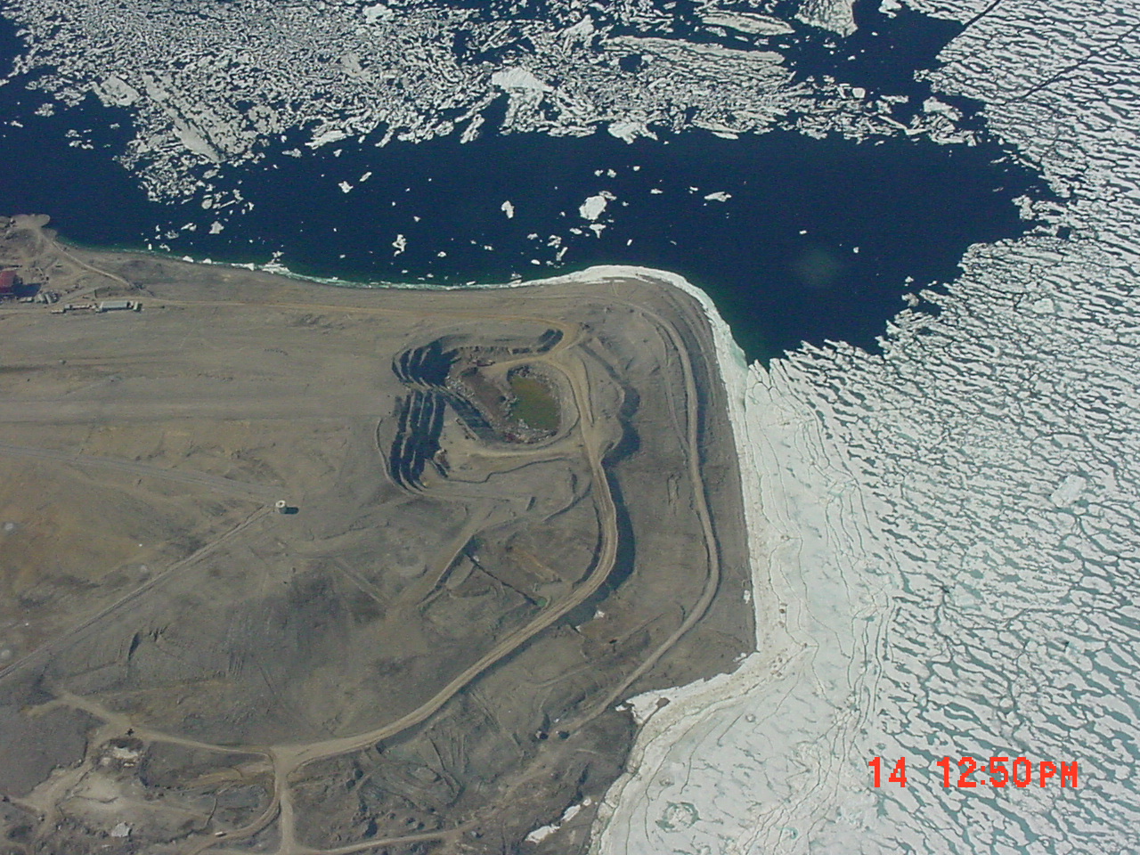 |
Polaris Mine - Scheduled to close in 2004 |
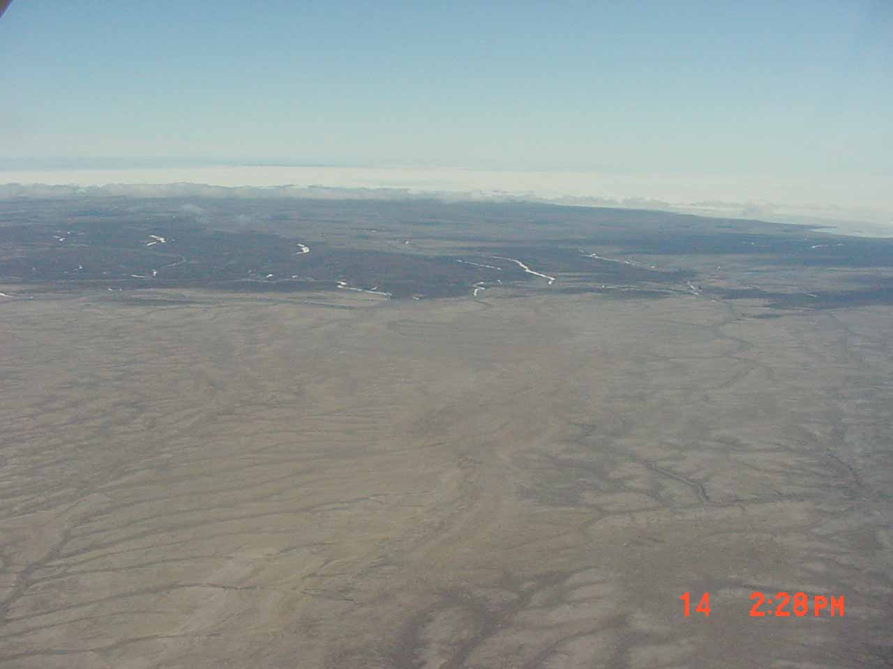 |
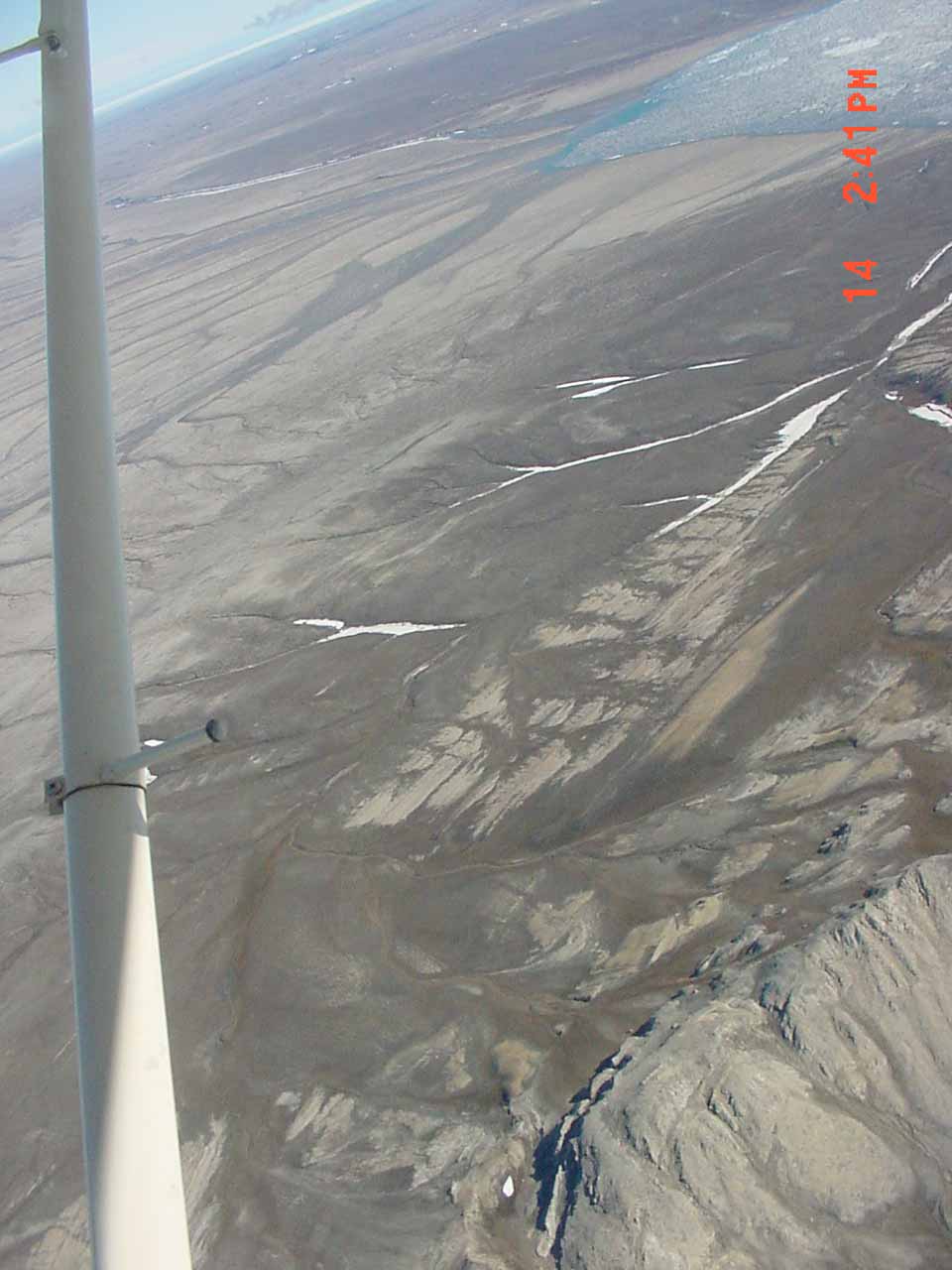
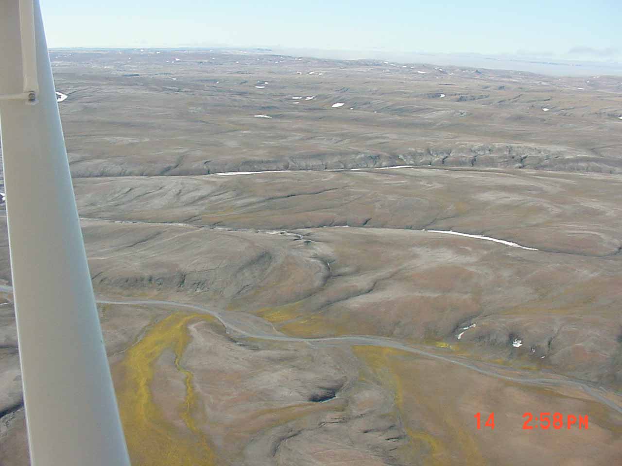
Streams that flow over wide, soft riverbeds tend to shift their channels to form additional channels, and then unite around islands that are formed by this diversifying stream action. This intertwining of stream channels produces the feature known as a braided stream, and the process is called braiding. The south-flowing braided stream shown in this photo cuts through deposits of soft sand. Braiding ceases where the stream crosses a slightly more resistant clay bed.(Natural Resources Canada) |
 |
The abandoned Malloch Dome Mine - |
 |
Malloch Dome Mine - |
 |
The abandoned 2,500' air strip offered something of an option if trouble happened.
The other options was the strip to service the automated weather station at Isachsen and a simi liar airstrip at the abandoned King Christian mine. |
.JPG) |
The trip map for this leg. |
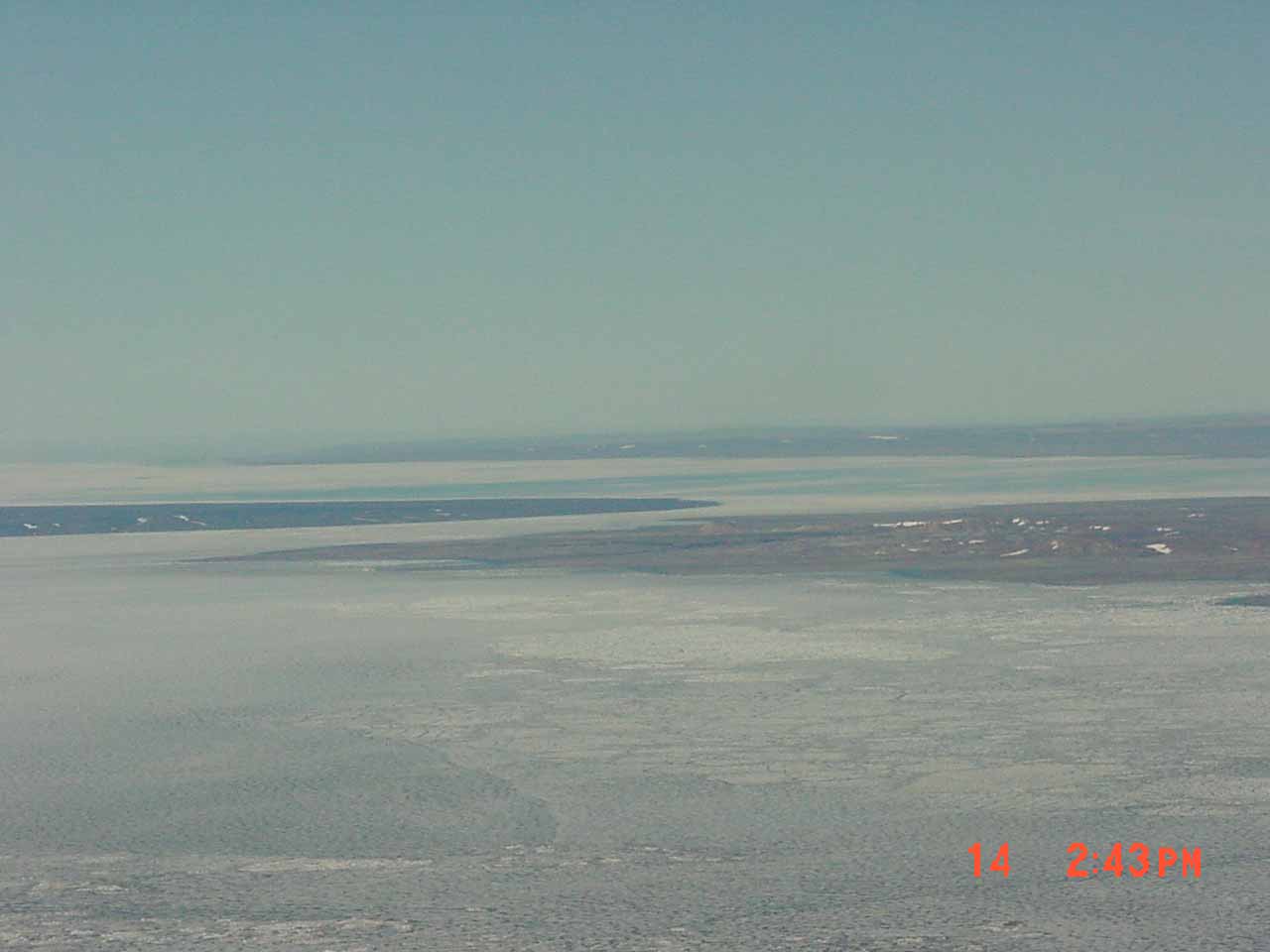 |
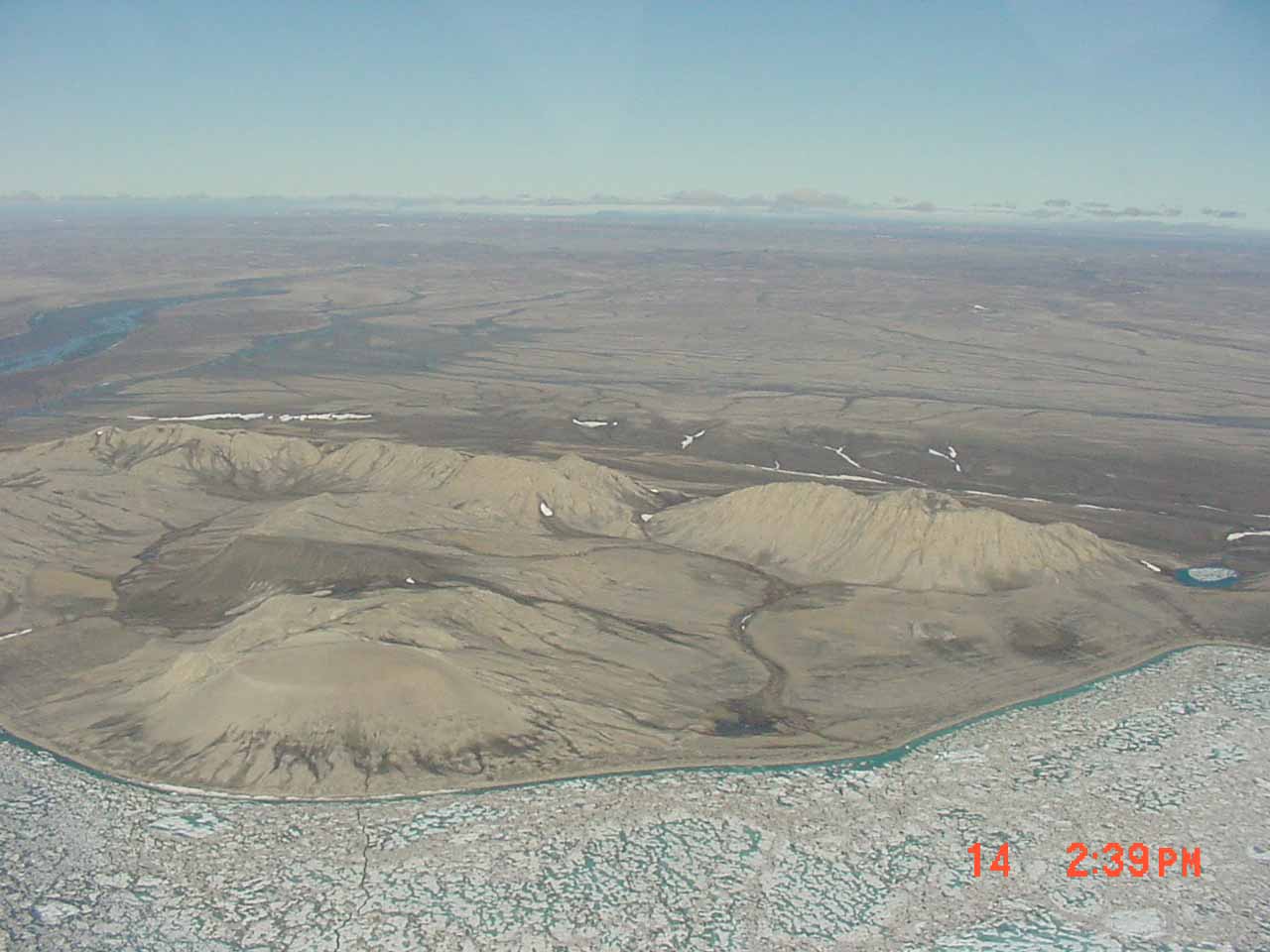
Dome Bay - The MNP was under here the last time it was officially located in 1994. Since then it's drifted NNW (True) under the Arctic Ocean. |
 |
Dome Bay and Noice Peninsula on the right. |
 |
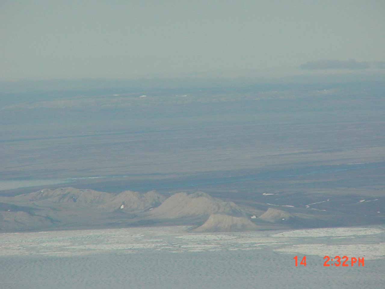
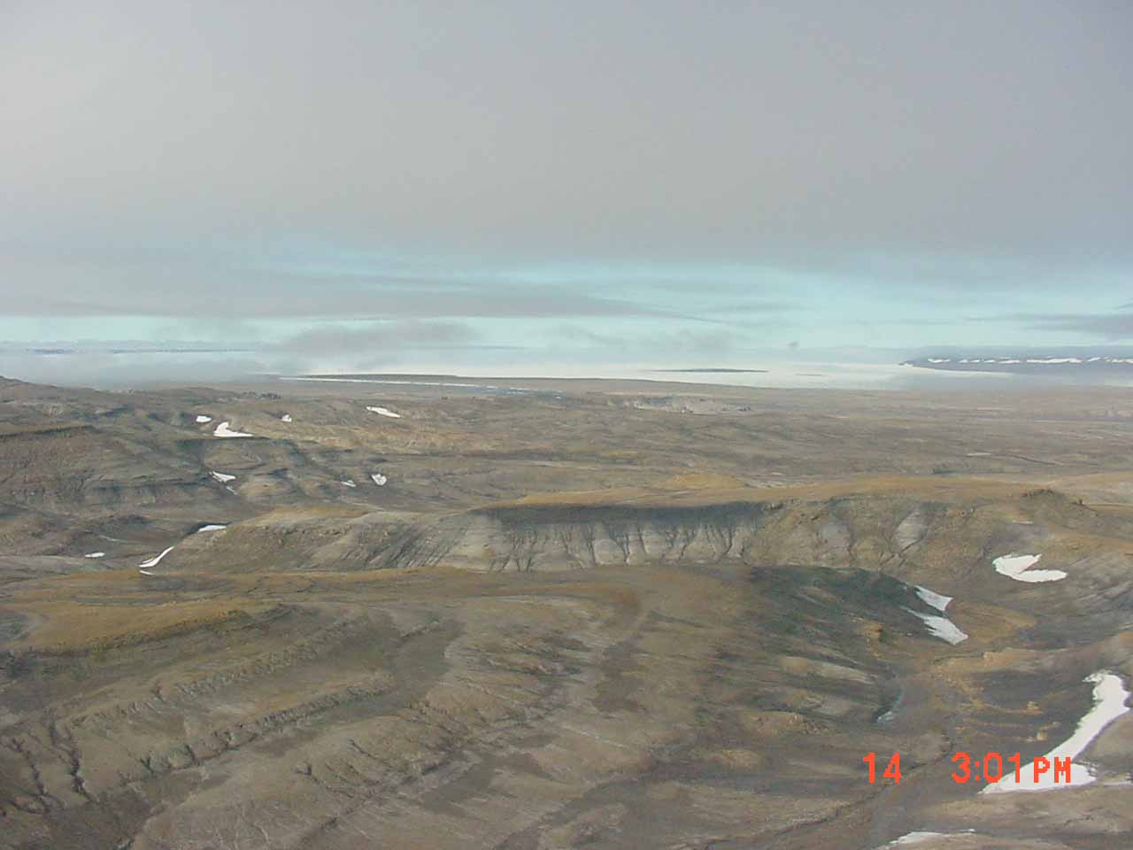
This dome is diapiric (or piercing) in nature, and formed when material in the sub-strata expanded in an upward direction. In this case, the expanding material is gypsum of Lower Carboniferous age. It is extensively gullied by the erosive action of localized streams and associated weathering processes. The dome is surrounded by light-coloured sandstone of the Isachsen Formation, and by the dark shale of the Christopher Formation; both these units are Cretaceous in age.(Natural Resources Canada) |
.JPG) |
Dome Bay and Noice Peninsula on the right. |
 |
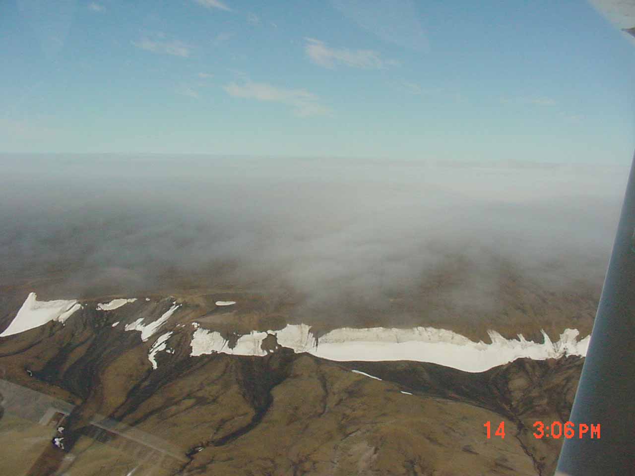
Ahead is surface fog drifting into Deer Bay and Isachsen. |
 |
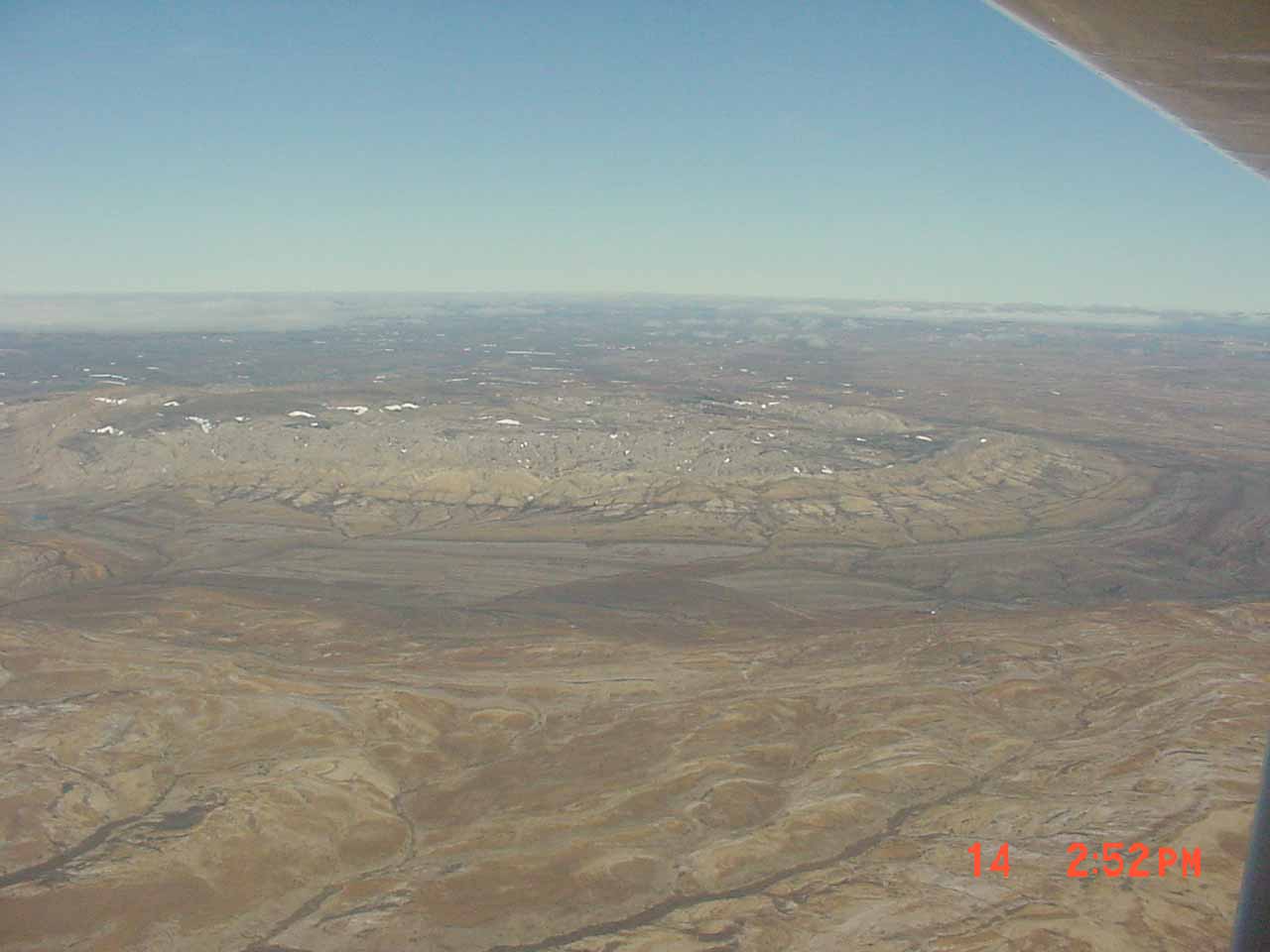
Intense gullying has taken place below the north-facing hollows, which is comprised of dark gray massive shale and limestone. The gullying is seen as numerous, more or less, parallel grooves extending from the base of the snow-covered hollows. |
 |
As I got to the ridge line of Noice Peninsula and Deer Bay, fog had drifted in from the ice covered Arctic Ocean ending any hope of landing at the Isachsen. |
 |
No room underneath and no visability through it from above. |
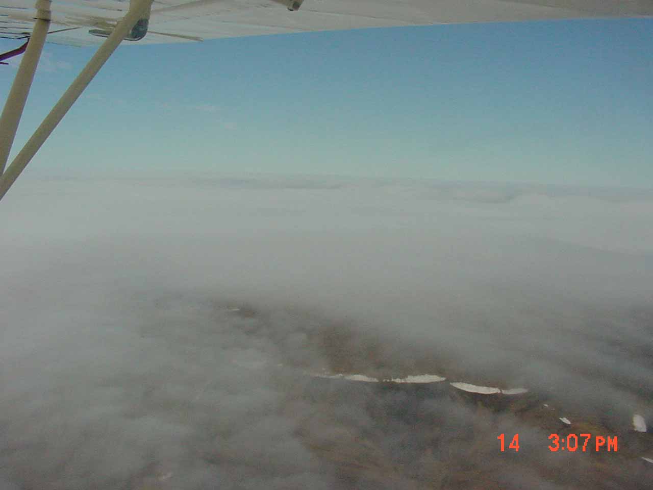 |
Time to start back to Resolute |
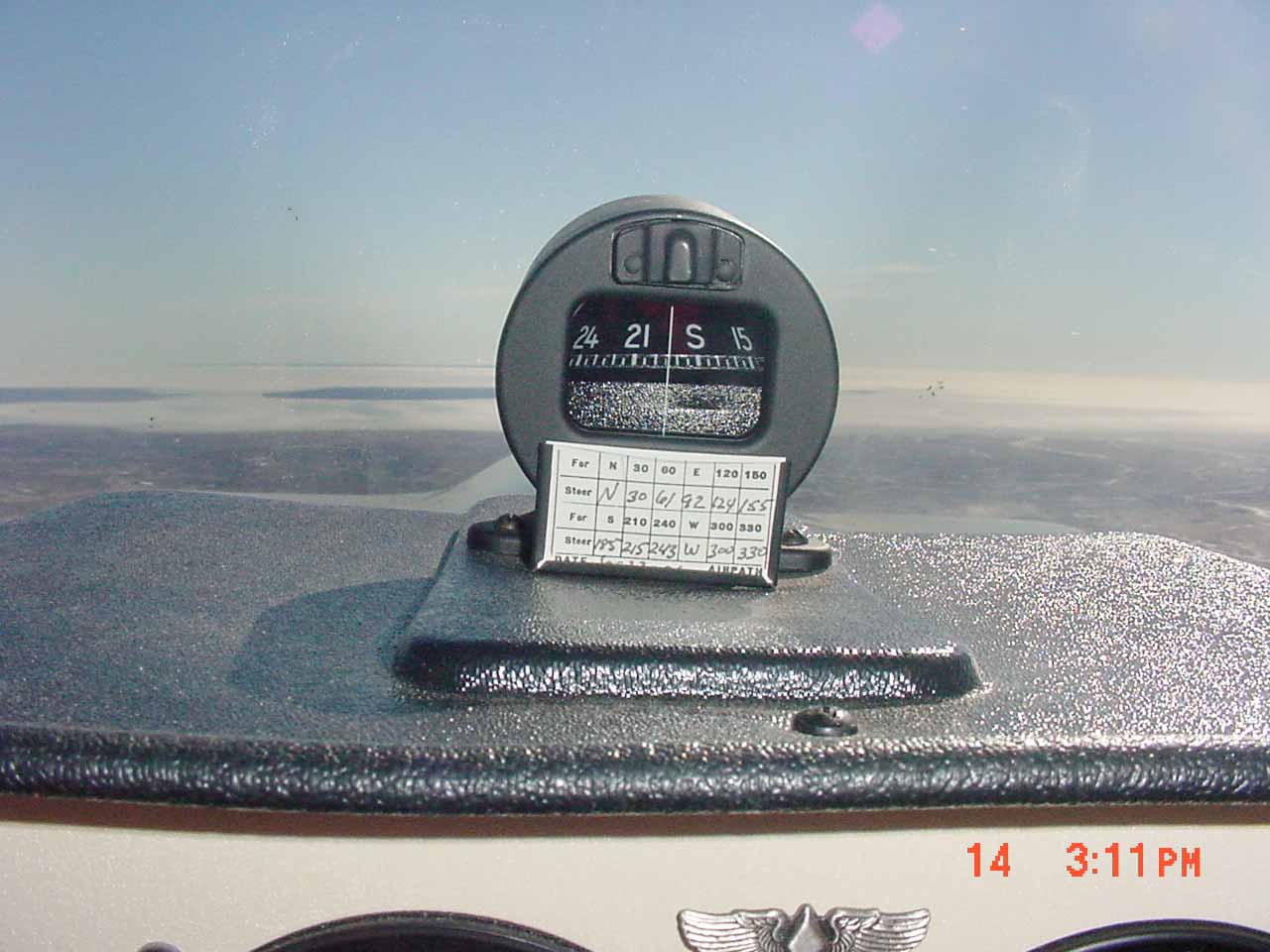 |
Amost everyone asks if the compass worked. As expected the card didn't sit flat and angled down. Any slight change in course would cause strong oscillations that took awhile to settle down.
Later we found out about an argument over lunch back at the hotel. Was the ice was strong enough to land the plane if the engine quit. |
 |
Consensus was that the ice would probably break upon landing, but the wings would keep the plane from sinking and allow us to get out. They gave us grief when they found out we hadn't crashed and solved their arguement.
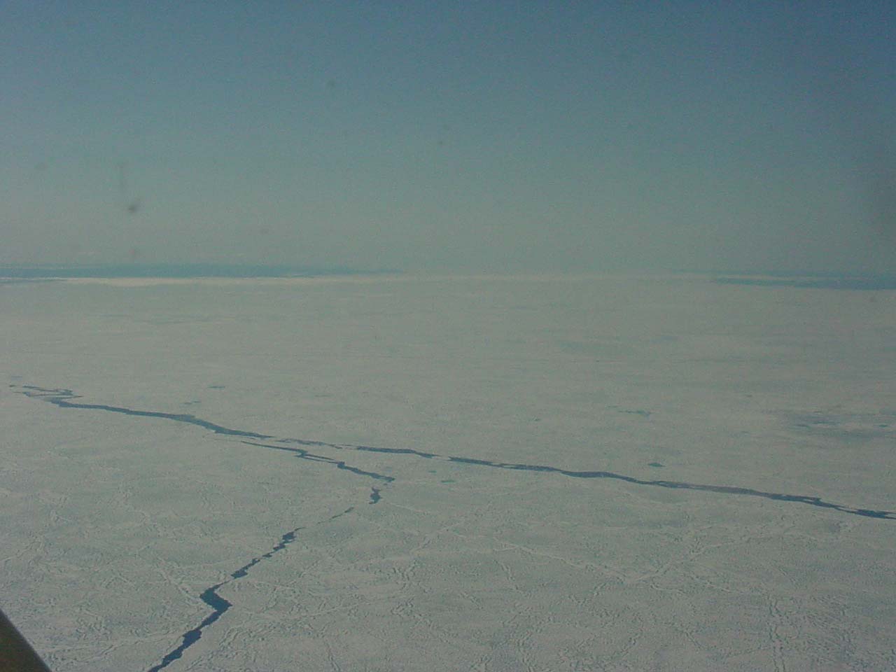
Had we had to walk back we would have had to walk around these open water leads. |
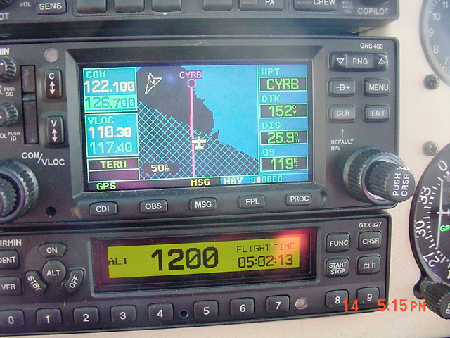 |
Approaching the know universe. Garman maps only go as far as 75N but you can put in any waypoint you need in. GPS reception was never a problem. |
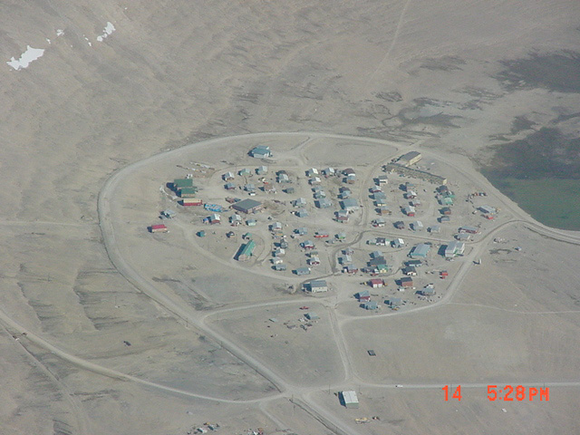 |
Resolute |
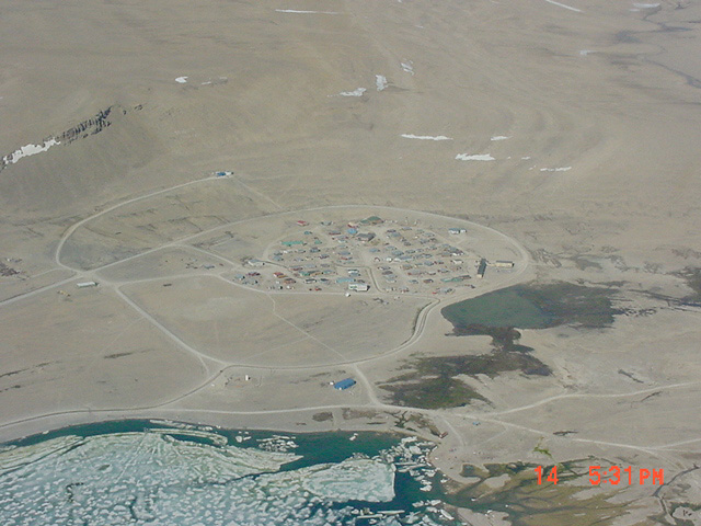 |
Resolute |
 |
One happy camper after planning (dreaming) of this trip for two years. |
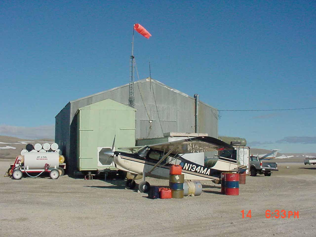 |
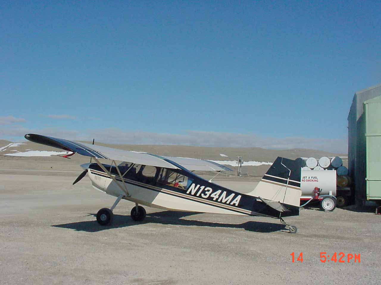
Both 4MA and I were ready for sleep. |
After dinner I was really pooped and went to bed early, about 9:00. It seemed like I had just put my head on the pillow when the sun, shinning through the window, woke me up. The clock said 11:00. I had slept for fourteen hours!
Then I got up and the hotel was dead asleep. I really had just gone to bed. The sun had gone around to shine through the North facing window and wake me up. |
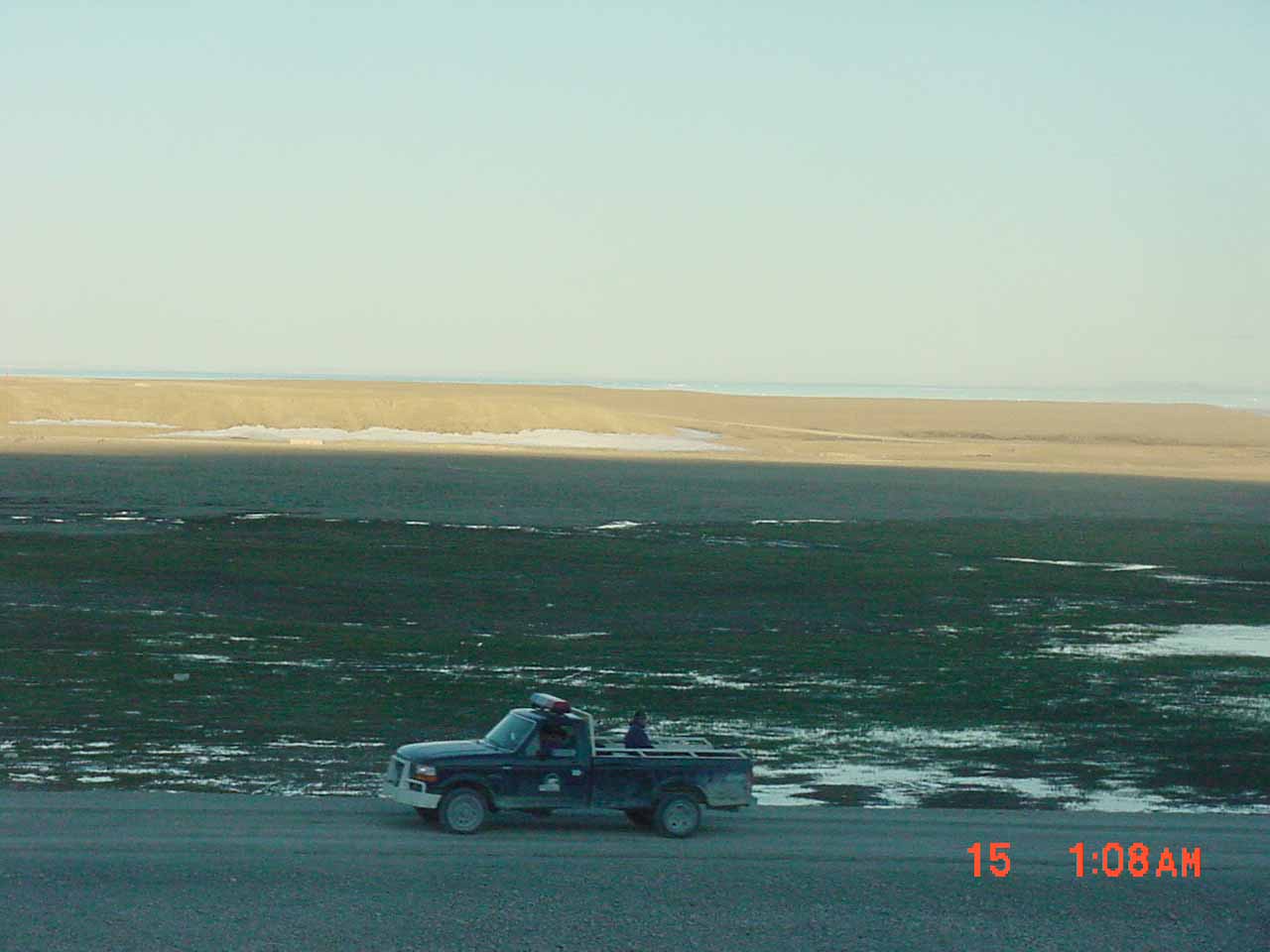 |
The Midnight Sun (behind the hill protecting Resolute from the North wind) |
 |
This far north the Satellite dishes seem to be pointing into the ground when they really are aimed at satellites in
geosynchronous orbit over the equator |